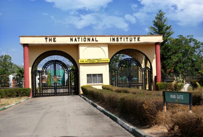
The National Institute for Policy and Strategic Studies (NIPSS) and the Peace Building Development Consult (PBDC) are set to train professionals on satellite data mining and geospatial intelligence for national development.
The Executive Director of PBDC, Mr Kayode Bolaji, said the programme is designed for professionals eager to delve into the forefront of cutting-edge technologies and innovative applications shaping today’s dynamic landscape.
Bolaji explained that the 3-day course will focus on the core concepts and methodologies of data mining, solving complex location-oriented problems, and enhancing prediction and decision-making.
He further explained that participants will understand the National Security Implications of Geospatial Data, Synergize Satellite Data and Economic Development, Leverage AI for Imagery Processing, and so many others.
“It is all about unlocking the potential of satellite data mining and geospatial intelligence for national development with our exclusive 3-Day Leadership Course! Organised by the National Institute for Policy and Strategic Studies (NIPSS) and Peace Building Development Consult (PBDC), this comprehensive programme is designed for professionals eager to delve into the forefront of cutting-edge technologies and innovative applications shaping today’s dynamic landscape.
“Grasp Core Concepts and Methodologies of Data Mining: * Understand the fundamentals and methodologies of data mining and geospatial intelligence.
“Solve Complex Location-Oriented Problems: Apply acquired skills to address intricate issues in security, the economy, environment, agriculture, health, and more.
“Enhance Prediction and Decision-Making: Utilise data fusion, analysis, and visualisation techniques to improve predictive models and decision-making processes.
“Understand National Security Implications of Geospatial Data: Evaluate the role of data mining and geospatial intelligence in risk management, disaster response, and national security.
“Synergize Satellite Data and Economic Development: Explore how satellite data can drive economic growth and development.
“Leverage AI for Imagery Processing: Harness artificial intelligence to accelerate the production, analysis, and dissemination of high-quality imagery.
“Strengthen Operational Geospatial Intelligence: Navigate the complexities of the modern era, addressing challenges like disinformation, misinformation, and distrust.
“Strategies to Democratise Geospatial Data Access: Promote tactical responsiveness while reducing costs through the democratisation of geospatial data.
“This course caters to professionals across academia, policy formulation, military, paramilitary, law enforcement, intelligence, economic and corporate sectors, private business, surveying, environment, science and technology, and other relevant fields.
“Featuring resource persons from government ministries, departments, and agencies, as well as industry experts and thought leaders in the field of analysis and geospatial intelligence, the programme offers a unique networking opportunity.
“The course will be held at the Defence Space Administration, Abuja, from February 7–9, 2024,” he said.
. TheWitness


